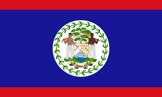
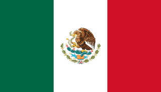
Belize–Mexico border
A border that runs from the Caribbean through Chetumal Bay and up the Río Hondo, then due south to Guatemala. Britain and Mexico fixed it in 1893, clearing up where British Honduras ended; today many Belizeans cross the Hondo every day.
Written from cited sourcesLast checked 29 September 2026Suggest a correction
See it on the globe:Belize →Mexico →
Logwood and treaties
British settlers established the Bay Settlement in what is now Belize in 1638. Spain kept sovereignty but in 1763, 1783 and 1786 granted them the right to cut logwood, first between the Río Hondo and the Belize River and then as far as the Sibun. After Mexican independence, an Anglo-Mexican treaty of 1826 adopted the limits of 1786.[1]
In 1859 Britain agreed with Guatemala that Belize’s western line would run due north from Garbutt’s Falls “until it strikes the Mexican frontier”, and in 1882 Mexico and Guatemala set their own line on the parallel of 17°49′ N. A treaty of 8 July 1893 between Britain and Mexico tied these together: the line runs from Boca Bacalar Chico through Chetumal Bay, up the Hondo and Blue Creek, and south along the Garbutt’s Falls meridian to the parallel. An 1897 convention guaranteed Mexican merchant ships the right to sail the strait south of Ambergris Caye in perpetuity.[1]
“from Garbutt’s Falls due north until it strikes the Mexican frontier”[1]
Across the Hondo
British Honduras was renamed Belize in 1973.[1] Many Belizeans have family across the river in Chetumal and cross every day. Since 2018 the two countries have marked the treaty’s anniversary at the Subteniente López bridge; Corozal’s mayor called the Río Hondo “the only thing that separates us”.[2]
In May 2025 Belize’s prime minister, John Briceño, and Mexico’s president, Claudia Sheinbaum, discussed a proposed bridge and Belize’s hope that the Maya Train will one day cross the Hondo into northern Belize.[3]
Timeline
178614 July 1786
Convention of London
British logwood rights are extended.[1]
18938 July 1893
Anglo-Mexican treaty
The present boundary is fixed.[1]
18977 April 1897
Navigation clause
Mexican ships may sail south of Ambergris Caye.[1]
19731 June 1973
Belize named
British Honduras becomes Belize.[1]
2025
Maya Train talks
Leaders discuss extending the line across the Hondo.[3]
More borders
Sources
- [1]International Boundary Study No. 161: Belize – Mexico Boundary · US Department of State, Office of the Geographer · 9 February 1977
- [2]Belize and Mexico Celebrate 1893 Spencer-Mariscal Treaty · Channel 5 Belize · 8 July 2019
- [3]Mexico and Belize push forward on bridge, beef, and the Maya Train · Breaking Belize News · 16 May 2025
Map geometry from Natural Earth via world-atlas. See credits.