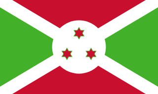
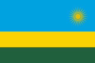
Burundi–Rwanda border
A line along rivers and lakes that once separated two kingdoms inside German and then Belgian Ruanda-Urundi. The two countries, which share the same peoples, became independent on the same day in 1962. In 2024 Burundi shut the border, accusing Rwanda of backing rebels.
Written from cited sourcesLast checked 29 September 2026Suggest a correction
See it on the globe:Burundi →Rwanda →
Two kingdoms
A de facto boundary existed between the ancient kingdoms of Ruanda and Urundi before and during German rule, when both were part of German East Africa. After the First World War Ruanda-Urundi became a Belgian mandate and later a UN trust territory, and an ordinance of 14 August 1949 officially delimited the line between its two residencies. Both became independent on 1 July 1962, as the Republic of Rwanda and the Kingdom of Burundi.[1]
The line mostly follows streams, chiefly the Ruwa, Kanyaru and Kagera, and passes through Lakes Cyohoha and Rweru, across a heavily cultivated plateau of ridges and valleys that rises to forests above 8,700 feet on the Nile watershed. The same peoples, Hutu and Tutsi, live on both sides, with only a slight difference of language roughly at the border.[1]
“In effect a de facto boundary existed between the ancient kingdoms of Ruanda and Urundi”[1]
Closed in 2024
In December 2023 Burundi’s president, Évariste Ndayishimiye, accused Rwanda of hosting and training the RED-Tabara rebels, who had claimed an attack near Burundi’s western border; Rwanda rejected the allegations. In January 2024 Burundi closed the border. Rwanda’s government spokesperson said it had learned of the decision from the media and that it violated the principles of the East African Community.[2]
Timeline
More borders
Rwanda
Sources
- [1]International Boundary Study No. 72: Burundi – Rwanda Boundary · US Department of State, Office of the Geographer · 1 June 1966
- [2]Burundi closes border with Rwanda in latest East Africa row · Al Jazeera · 12 January 2024
Map geometry from Natural Earth via world-atlas. See credits.