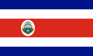
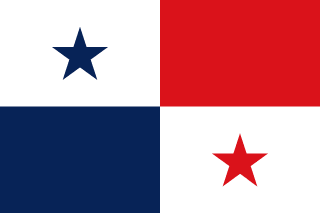
Costa Rica–Panama border
A border from the mouth of the Sixaola on the Caribbean over the highlands to Punta Burica on the Pacific. Two arbitrators, a French president and a US chief justice, failed to settle it before a 1941 treaty did. At Paso Canoas it became a stop for hundreds of thousands of migrants heading north after crossing the Darién.
Written from cited sourcesLast checked 29 September 2026Suggest a correction
See it on the globe:Costa Rica →Panama →
Two failed arbitrations
The boundary was disputed from the early 19th century until 1941, at first between Costa Rica and Colombia. In 1900 President Loubet of France gave an award that Colombia accepted but Costa Rica protested on the Caribbean side. In 1914 US Chief Justice White gave another, which Panama rejected. A treaty signed at San José on 1 May 1941 finally drew the line, and the marking was approved in 1944 at the spot where the Inter-American Highway crosses the border.[1]
The line runs up the winding Sixaola and Yorkin rivers, past Sibube, probably the site of the Spanish town of Santiago de Talamanca founded in 1605, then by straight lines and the continental divide to Cerro Pando and down a secondary ridge to Punta Burica on the Pacific.[1]
Paso Canoas
In 2023 more than 400,000 migrants crossed the Darién jungle into Panama heading north; at Paso Canoas, on the border, Costa Rica set up a camp on an old airfield where exhausted families waited for buses to Nicaragua.[2] By early 2025, after US immigration policy changed, the flow had reversed: migrants returning south found themselves stranded in Paso Canoas, many having sold everything for the journey.[3]
“They come back defeated”[3]
Timeline
More borders
Costa Rica
Panama
Sources
- [1]International Boundary Study No. 156: Costa Rica – Panama Boundary · US Department of State, Office of the Geographer · 2 July 1976
- [2]Migrant Surge Overwhelms Costa Rica’s Resources at Panama Border · The Tico Times (AFP) · 3 October 2023
- [3]Migrants Trapped in Limbo at Costa Rica-Panama Border · The Tico Times · 10 February 2025
Map geometry from Natural Earth via world-atlas. See credits.