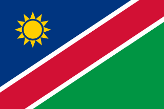
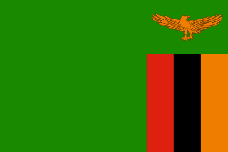
Namibia–Zambia border
The northern edge of Namibia’s Caprivi Strip: a straight line from the Kwando to the Katima Mulilo rapids, then the Zambezi. It is one of the lines Germany and its rivals drew in the 1880s and 1890s to give German South West Africa a corridor to the Zambezi.
Written from cited sourcesLast checked 29 September 2026Suggest a correction
See it on the globe:Namibia →Zambia →
A line to the rapids
A German–Portuguese declaration of 30 December 1886 ran the line between their spheres east from the Okavango village of Andara in a straight line to the Katima rapids on the Zambezi. The Anglo-German agreement of 1 July 1890 then gave German South West Africa a narrow corridor to the Zambezi, the Caprivi Strip, whose northern edge was already set by the 1886 line.[1]
When the King of Italy settled the Barotse boundary in 1905, he kept the straight Katima–Andara line up to the Kwando. A joint commission marked the line between the Okavango and the Zambezi in 1930–31.[1]
“…to the village of Andara, which is to remain in the German sphere of influence, and from thence in a straight line eastwards to the rapids of Catima, on the Zambesi.”[1]
Dividing the Zambezi
From the rapids the border follows the Zambezi downstream. In 1931 a Northern Rhodesia–South Africa commission plotted the river’s main channel and listed which islands fell on each side, and in 1933 the two governments accepted that channel as the Caprivi Strip’s eastern boundary. A second exchange let people from Northern Rhodesia keep cutting reeds on the other side.[1]
South Africa ran South West Africa under a League of Nations mandate from 1920. The UN ended the mandate in 1966, renamed the territory Namibia in 1968, and in 1971 the International Court of Justice advised that South Africa’s presence there was illegal. Northern Rhodesia became independent as Zambia on 24 October 1964.[1]
Timeline
188630 December 1886
German–Portuguese declaration
A straight line is drawn from Andara to the Katima rapids.[1]
18901 July 1890
Caprivi Strip
Germany gets a corridor to the Zambezi.[1]
190530 May 1905
Italian award
The Barotse boundary is fixed, keeping the Katima line.[1]
1931
Surveys
The land line is marked and the Zambezi islands divided.[1]
196424 October 1964
Zambia independent
Northern Rhodesia becomes Zambia.[1]
196627 October 1966
Mandate ended
The UN General Assembly ends South Africa’s mandate.[1]
More borders
Sources
- [1]International Boundary Study No. 123: South-West Africa (Namibia) – Zambia Boundary · US Department of State, Office of the Geographer · 3 July 1972
Map geometry from Natural Earth via world-atlas. See credits.