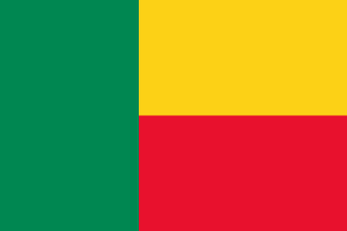
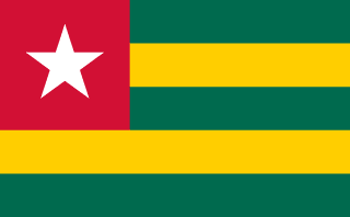
Benin–Togo border
A long, thin line between French Dahomey and German Togo, running north from a coastal lagoon along the Mono River and then through a chain of 130 points. Today its coastal crossing is a stop on the highway linking Abidjan and Lagos.
Written from cited sourcesLast checked 29 September 2026Suggest a correction
See it on the globe:Benin →Togo →
France and Germany
France built up protectorates along the Bight of Benin from the 1860s, making them the colony of Benin in 1893, renamed Dahomey a year later. Germany signed a protection treaty with the Chief of Togo on 5 July 1884 and pushed inland. A Franco-German protocol of 1885 said the boundary would start on the coast between Petit Popo (Aného) and Agoué.[1]
In 1887 the line was fixed as the meridian through the western tip of Bayol Island, a small island in the lagoon just west of Hillacondji, running north to the 9th parallel. A convention of 1897 moved it along the lagoon to the Mono River and up the river to the 7th parallel, then drew it between villages and roads to the 11th parallel, leaving Semere to France. A declaration of 1912 set the northern part as straight lines between 130 listed points.[1]
“shall start from a point on the coast to be fixed between the territories of Petit Popo and Agoue”[1]
Independent neighbours
After the First World War eastern Togoland became a French mandate, later a UN trust territory. Togo became independent on 27 April 1960 and Dahomey, now Benin, on 1 August 1960. In 1972 the line was still undemarcated except where it followed rivers.[1]
The coastal crossing at Hillacondji lies on the Abidjan–Lagos coastal highway, which links Nigeria’s and Ivory Coast’s largest cities. An African Development Bank-backed project finished upgrading the road on the Benin side in 2022 and built a juxtaposed control post, where both countries’ border checks sit together.[2]
Timeline
18845 July 1884
German Togo
Germany signs a protection treaty on the coast.[1]
18871 February 1887
Bayol meridian
The first boundary line is fixed.[1]
189723 July 1897
Franco-German convention
The line is carried north to the 11th parallel.[1]
191228 September 1912
Detailed declaration
The northern line is set through 130 points.[1]
1960
Independence
Togo in April, Dahomey in August.[1]
2022
Border post
A joint control post opens on the coastal highway.[2]
Sources
- [1]International Boundary Study No. 124: Benin (Dahomey) – Togo Boundary · US Department of State, Office of the Geographer · 7 July 1972
- [2]Benin: West African Coastal Highway Upgrade, a Game-Changer for Regional Development · African Development Bank · 23 October 2024
Map geometry from Natural Earth via world-atlas. See credits.