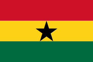
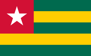
Ghana–Togo border
A border running north from the coast between Denu and Lomé to Burkina Faso. It divided German Togoland from the British Gold Coast; after the First World War the colony was split in two, and in 1956 the British half voted to join Ghana, so the line now runs through old Togoland.
Written from cited sourcesLast checked 29 September 2026Suggest a correction
See it on the globe:Ghana →Togo →
Two Togolands
In 1884 Germany signed a treaty with the chief of Togo placing the coast from Porto-Seguro to Lomé under its protection, and Anglo-German agreements from 1886 to 1904 pushed the line north from the sea, through a neutral zone, to French territory. After the First World War the colony was divided: western Togoland became a British mandate run as part of the Gold Coast, eastern Togoland a French one, and the line between them was demarcated in 1929. In a 1956 plebiscite British Togoland chose to join the Gold Coast, which became independent as Ghana in 1957; French Togo became independent in 1960.[1]
The border starts at the sea on the road from Denu to Lomé and runs about 545 miles north by straight lines, rivers and divides to Burkina Faso.[1]
Closed for two years
Togo, whose western and eastern borders are only about 50 km apart at its southern tip, closed its land borders in 2020 against COVID-19, cutting the cross-border trade its economy depends on; Ghana was among its top export destinations.[3] Ghana reopened its land and sea borders on 28 March 2022, two years after closing them, to relief from traders who sold to Togolese and Burkinabe neighbours.[2]
“The president's announcement is great news, but it was long overdue”[2]
Timeline
More borders
Ghana
Togo
Sources
- [1]International Boundary Study No. 126: Ghana – Togo Boundary · US Department of State, Office of the Geographer · 6 September 1972
- [2]Ghana reopens lands and sea borders to boost its economy · Africanews (AFP) · 29 March 2022
- [3]Togo: economy suffers under coronavirus-prevention border closure · Africanews (AFP) · 18 June 2021
Map geometry from Natural Earth via world-atlas. See credits.