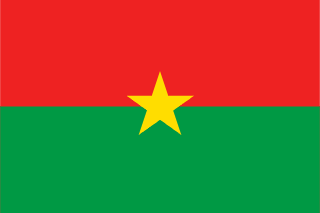
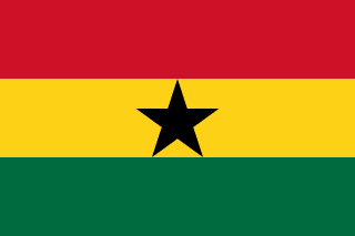
Burkina Faso–Ghana border
Ghana’s northern border: the Black Volta from the Ivory Coast tripoint up to the 11th parallel, then a line east towards Togo. Britain and France drew it in 1898 between the Gold Coast and French Sudan, and later adjusted it in a series of notes.
Written from cited sourcesLast checked 30 September 2026Suggest a correction
See it on the globe:Burkina Faso →Ghana →
Gold Coast and French Sudan
An Anglo-French convention of 14 June 1898 carried the boundary between British and French territory north along the deepest channel of the Black Volta from the 9th parallel to the 11th. The same convention delimited the line between the British Gold Coast and French Sudan eastward from the Black Volta towards German Togoland.[1][2]
Notes exchanged in 1904 redefined the Gold Coast–Sudan line, and a second exchange in 1906 amended its eastern end and recorded its demarcation. Today the Black Volta sector runs from the Ivory Coast tripoint at about 9°29′30″N north to the 11th parallel.[2][1]
“From this point the frontier runs in a straight line across an uninhabited country, covered by bush…”[2]
Upper Volta and Ghana
The French side of the line became part of Upper Volta when that colony was created in 1919. Upper Volta was abolished in 1932 and divided among its neighbours, and restored with its old boundaries in 1947. It became independent on 5 August 1960.[3]
On the British side, British Togoland, run as part of the Gold Coast, was merged with it in 1957 to form Ghana. At the eastern end, the old British–French–German tripoint lay about 1,850 metres north-west of the present Togo tripoint, which was set by a 1929 demarcation.[2]
Timeline
189814 June 1898
Anglo-French convention
The Black Volta and the Gold Coast–Sudan line are agreed.[1]
1906
Notes amended
The eastern end is adjusted and demarcated.[2]
19191 March 1919
Upper Volta created
The French side becomes a separate colony.[3]
1957
Ghana
The Gold Coast and British Togoland form Ghana.[2]
19605 August 1960
Upper Volta independent
The line becomes an international border between two states.[3]
More borders
Sources
- [1]International Boundary Study No. 138: Côte d’Ivoire – Ghana Boundary · US Department of State, Office of the Geographer · 16 July 1973
- [2]International Boundary Study No. 128: Burkina Faso (Upper Volta) – Togo Boundary · US Department of State, Office of the Geographer · 29 September 1972
- [3]International Boundary Study No. 169: Burkina Faso (Upper Volta) – Côte d’Ivoire (Ivory Coast) Boundary · US Department of State, Office of the Geographer · 15 August 1979
Map geometry from Natural Earth via world-atlas. See credits.