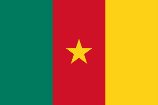
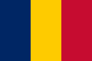
Cameroon–Chad border
A border that runs from Lake Chad down the Chari and Logone rivers, past the facing cities of N’Djamena and Kousseri, then overland to the Central African Republic. Clashes over dwindling water sent tens of thousands of Cameroonians across it in 2021; in 2025 a new bridge over the Logone joined the two countries’ riverbank towns.
Written from cited sourcesLast checked 29 September 2026Suggest a correction
See it on the globe:Cameroon →Chad →
German Kamerun and French Chad
Germany declared a protectorate over Kamerun in 1884. A Franco-German convention of 1894 carried the line north toward Lake Chad along the 15th meridian, then to the Mayo-Kebbi, along the 10th parallel to the Chari, and down the Chari to the lake. It was revised in 1908, and the present border, marked by pillars and by the Logone and Chari rivers, runs about 680 miles from Lake Chad to the Mbere River at the Central African Republic.[1]
Water and a bridge
In December 2021 a dispute between herders, fishermen and farmers over dwindling water broke out in the border village of Ouloumsa and spread through Cameroon’s Logone-Chari district. The UN refugee agency said more than 30,000 people fled to Chad, including at least 10,000 from Kousseri, whose cattle market was destroyed, into N’Djamena just across the rivers; Chad’s Red Cross and Cameroon’s authorities gave far lower figures.[2]
On 28 April 2025 the two prime ministers opened a road bridge over the Logone between Yagoua in Cameroon and Bongor in Chad, a project backed by the African Development Bank, to replace risky river crossings.[3]
“a promise of safety for those who cross the river in precarious conditions”[3]
Timeline
More borders
Cameroon
Sources
- [1]International Boundary Study No. 102: Cameroon – Chad Boundary · US Department of State, Office of the Geographer · 1 September 1970
- [2]More than 30,000 flee to Chad to escape violence in Cameroon: UN · Al Jazeera (AFP) · 10 December 2021
- [3]The bridge over the River Logone marks a new era of cooperation in Central Africa · African Development Bank · 2 May 2025
Map geometry from Natural Earth via world-atlas. See credits.