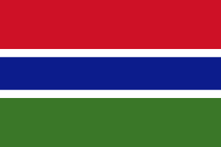
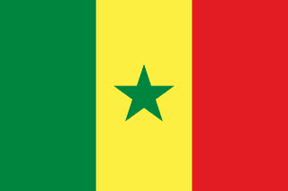
Gambia–Senegal border
A border that wraps around the Gambia River, leaving The Gambia a long, thin strip almost entirely surrounded by Senegal. Britain and France drew it in 1889; a bridge across the river, discussed since the 1970s, finally opened in 2019.
Written from cited sourcesLast checked 28 September 2026Suggest a correction
See it on the globe:Gambia →Senegal →
A river as a country
The Gambia, the smallest country in mainland Africa, is a narrow strip of land wrapped around the Gambia River and almost entirely surrounded by Senegal. It was a British colony from 1821 until independence in 1965, and its limits were long contested between Britain and neighbouring French Senegal.[1]
In 1889 Britain and France agreed that British control would reach about 16 km on either side of the river, as far upstream as Yarbutenda, its furthest navigable point. A popular legend says the width was set by cannonballs fired from British ships, but there is no evidence for it. An Anglo-French commission tried to refine the line in 1891 and met resistance from local rulers whose lands were being divided.[1]
Across the river
The border splits Senegal too: travellers from northern Senegal to its southern region of Casamance had to make a detour of some 400 km. Relations between Dakar and Banjul were long marked by disputes over transport, fishing and borders, though people on both sides share languages, ethnic origins and family ties.[2]
Relations warmed after Senegal led West African pressure on Yahya Jammeh to accept his defeat in The Gambia’s December 2016 election. In January 2019 President Macky Sall of Senegal and President Adama Barrow of The Gambia opened the Senegambia Bridge, a concrete span more than a kilometre long about ten kilometres from the Farafenni border crossing. It had been discussed since the 1970s and begun in 2015.[2]
“Given the geography of Gambia and Senegal, with a river dividing each country into two parts, one wonders why it took so long to get this bridge”[2]
Timeline
More borders
Sources
- [1]Ever wonder why Africa’s borders appear so strange? · Al Jazeera · 23 February 2025
- [2]Bridge connecting Gambia, Senegal opens · Africanews (AFP) · 22 January 2019
Map geometry from Natural Earth via world-atlas. See credits.