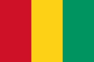
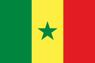
Guinea–Senegal border
An internal line of French West Africa, drawn by decrees in 1915 and 1933 and inherited at independence. It follows a parallel, streams, mountain peaks and, for a short way, the Gambia river, and in 1970 had only a few survey pillars.
Written from cited sourcesLast checked 29 September 2026Suggest a correction
See it on the globe:Guinea →Senegal →
One colony or two
Until 1845 all of France’s West African possessions answered to the governor of Senegal at Saint-Louis. The coast later called French Guinea, Les Rivières du Sud, was split off, put back under Senegal in 1859, and gradually given more independence until it became a colony of its own in 1891 and was renamed French Guinea two years later. From 1895 both were part of French West Africa.[1]
Guinea became independent on 2 October 1958, the first territory of French West Africa to do so. Senegal joined the Federation of Mali, became independent with it on 20 June 1960 and left it on 20 August 1960.[1]
Streams, peaks and the Gambia
A French decree of 27 February 1915 fixed the line. From the Portuguese Guinea tripoint it followed a parallel east to the Koulountou stream, then streams and straight lines drawn at set compass bearings. A decree of 13 December 1933 changed the middle sector, where the line now runs down the Neoudouol stream to the Gambia river, follows the Gambia upstream to the Soudouol, and then links mountain peaks by straight lines.[1]
In the east the 1915 decree followed the crest of the Konkoniouma range, naming the villages on each side. In 1970 the US Geographer advised that where the maps and the decrees differed, the maps best showed the line as it was administered.[1]
“…thus leaving on the Senegal side the villages of Koumbafara and Hamdallabi and the farming settlements of Dioulabaya, and on the Guinea side, the villages of Diakambe and Toukoundia.”[1]
Timeline
1891
Separate colony
Les Rivières du Sud is made independent of Senegal.[1]
191527 February 1915
First decree
The Guinea–Senegal boundary is established.[1]
193313 December 1933
Middle sector changed
The line is redrawn to follow part of the Gambia.[1]
19582 October 1958
Guinea independent
The line becomes Guinea’s international border.[1]
196020 August 1960
Senegal independent
Senegal leaves the Mali Federation.[1]
More borders
Sources
- [1]International Boundary Study No. 95: Guinea – Senegal Boundary · US Department of State, Office of the Geographer · 2 March 1970
Map geometry from Natural Earth via world-atlas. See credits.