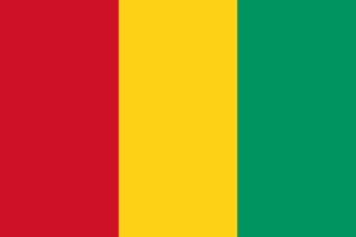
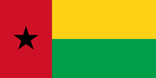
Guinea–Guinea-Bissau border
A colonial line between French and Portuguese Guinea, drawn in 1886 and marked with pillars around 1900–05. After both became independent, they asked an arbitral tribunal in 1985 to extend it out to sea.
Written from cited sourcesLast checked 29 September 2026Suggest a correction
See it on the globe:Guinea →Guinea-Bissau →
French and Portuguese Guinea
Portugal made Portuguese Guinea a colony separate from Cape Verde in 1879, and France made French Guinea a colony in 1893.[1] A Franco-Portuguese convention of 12 May 1886 set their border: in the east along a meridian between 12°40′ and 11°40′ north, and in the south from the mouth of the Cajet river, keeping an equal distance between neighbouring rivers.[1]
A joint commission then worked out the line on the ground and made several changes, the biggest being the cession to France of the district of Kade, with Portuguese territory pushed east farther north. It marked the border with pillars between 1900 and 1905, and exchanges of notes in Paris in 1904 and 1906 approved it. That demarcation gives the present line.[1][2]
Out to sea
Guinea became independent on 2 October 1958. Guinea-Bissau proclaimed independence on 24 September 1973, after a war of liberation begun in 1963, and Portugal recognised it on 26 August 1974. Neither country disputed that its land border was the colonial one.[2]
The sea was another matter. An arbitral tribunal of three judges, chaired by Manfred Lachs, ruled unanimously on 14 February 1985 that the 1886 convention had not set a maritime boundary. It drew one itself: from the Cajet river through three fixed points, then along a line on a bearing of 236° out to the limit of each country’s waters.[2]
Timeline
188612 May 1886
Franco-Portuguese convention
The border between the two Guineas is delimited.[1]
1900–05
Demarcation
A joint commission marks the line with pillars.[1]
19582 October 1958
Guinea independent
197324 September 1973
Guinea-Bissau independence
Guinea-Bissau proclaims independence from Portugal.[2]
198514 February 1985
Sea boundary award
An arbitral tribunal draws the maritime line.[2]
More borders
Guinea-Bissau
Sources
- [1]International Boundary Study No. 142: Guinea – Guinea-Bissau (Portuguese Guinea) Boundary · US Department of State, Office of the Geographer · 18 January 1974
- [2]Délimitation de la frontière maritime entre la Guinée et la Guinée-Bissau, sentence du 14 février 1985 (RIAA vol. XIX, pp. 149–196) · United Nations, Reports of International Arbitral Awards · 14 February 1985
Map geometry from Natural Earth via world-atlas. See credits.