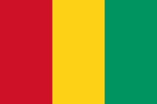
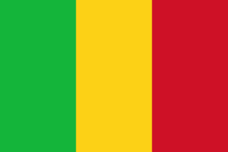
Guinea–Mali border
A long line across the West African savanna, drawn between two colonies of French West Africa when France moved whole districts from French Sudan to French Guinea in 1895 and 1899. In 2022, with Mali under West African sanctions, Guinea kept this border open and gave landlocked Mali a route to the sea.
Written from cited sourcesLast checked 30 September 2026Suggest a correction
See it on the globe:Guinea →Mali →
Districts moved between colonies
When French West Africa was formed in 1895, French Sudan gave the district of Faranah to French Guinea. A decree of 17 October 1899 went much further, transferring Beyla, Dinguiraye, Kankan, Kissidougou, Kouroussa and Siguiri from French Sudan to French Guinea. The line between the two colonies stayed an internal boundary of French West Africa until Guinea became independent in 1958.[3][4][1]
In the west the line meets Senegal on the Balin Ko, at a tripoint fixed by a French decree of 1915; in the east it meets Ivory Coast on the divide between the Baoulé and Sankarani rivers.[1][2]
Keeping the border open
In January 2022 the Economic Community of West African States imposed sweeping sanctions on Mali’s military government for delaying elections, including closing member states’ land borders. Guinea, itself suspended from the bloc after its own coup in September 2021, refused: its ruling committee said Guinea’s air, land and sea borders remained open to all sister nations. That left landlocked Mali a route to Guinea’s coast.[5][6]
ECOWAS lifted the economic sanctions on Mali in July 2022, after Mali’s rulers proposed a 24-month transition, and the region’s borders with Mali reopened.[6]
“…the air, land and sea borders of the Republic of Guinea remain open to all sister nations in accordance with its pan-Africanist vision.”[5]
Timeline
189516 June 1895
Faranah to Guinea
French Sudan gives up its first district to Guinea.[3]
189917 October 1899
Sudan broken up
Kankan, Siguiri and other districts go to Guinea.[4]
19582 October 1958
Guinea independent
The line becomes an international border.[1]
2022January 2022
Border kept open
Guinea defies ECOWAS sanctions on Mali.[5]
More borders
Sources
- [1]International Boundary Study No. 95: Guinea – Senegal Boundary · US Department of State, Office of the Geographer · 2 March 1970
- [2]International Boundary Study No. 171: Côte d’Ivoire (Ivory Coast) – Mali Boundary · US Department of State, Office of the Geographer · 26 November 1979
- [3]International Boundary Study No. 151: Mali – Senegal Boundary · US Department of State, Office of the Geographer · 10 April 1975
- [4]International Boundary Study No. 97: Dahomey – Upper Volta Boundary · US Department of State, Office of the Geographer · 1 April 1970
- [5]Guinea keeps borders open with Mali hit by ECOWAS sanctions · Africanews · 11 January 2022
- [6]West African leaders lift economic sanctions on Mali · Al Jazeera · 3 July 2022
Map geometry from Natural Earth via world-atlas. See credits.