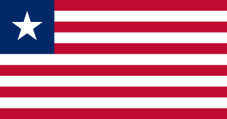
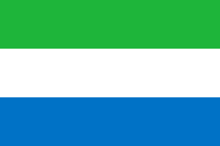
Liberia–Sierra Leone border
A border between two countries founded as homes for freed slaves, Sierra Leone by the British and Liberia by an American society. It follows the Mano River inland from the Atlantic, and the Mano gave its name to the regional union the two countries founded in 1973, which now works on the roads and markets that cross it.
Written from cited sourcesLast checked 29 September 2026Suggest a correction
See it on the globe:Liberia →Sierra Leone →
Two freedmen’s states
Freed slaves settled by the British reached the site of Freetown in 1787, and the settlement became a British crown colony in 1808. In 1822 the first freed slaves sent by the American Colonization Society landed at the site of Monrovia; Liberia became an independent republic in 1847. A convention of 1885 made the Mano River the boundary from the sea to a vague point inland. In 1911 Liberia gave the Kailahun area to Sierra Leone in exchange for land between the Morro and Mano rivers, following natural features and tribal divisions.[1]
The Mano River Union
In 1973 Liberia and Sierra Leone formed the Mano River Union, named after their border river, which begins in the Guinea highlands; Guinea and Côte d’Ivoire later joined. In 2022 the African Development Fund approved $88.2 million for roads between the member states to help post-conflict recovery.[2] That year a project was launched to help about 1,500 women cross-border traders at the Koindu–Foya and Jendema–Bo Waterside crossings.[3]
Timeline
More borders
Sierra Leone
Sources
- [1]International Boundary Study No. 129: Liberia – Sierra Leone Boundary · US Department of State, Office of the Geographer · 13 October 1972
- [2]The Mano River Union: African Development Fund commits $88.2 million for road development and transport facilitation in Liberia and Sierra Leone · African Development Bank · 23 March 2022
- [3]Mano River Union launches scheme to build inclusive business ecosystems · African Development Bank · 7 December 2022
Map geometry from Natural Earth via world-atlas. See credits.