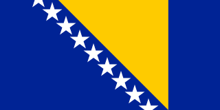
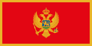
Bosnia and Herzegovina–Montenegro border
A mountain border running down to the Adriatic near Herceg Novi. In 2015 it became the subject of Bosnia’s first border agreement with a neighbour, after a months-long row over Sutorina, a small coastal valley some Bosnians say was wrongly given to Montenegro in 1945.
Written from cited sourcesLast checked 30 September 2026Suggest a correction
See it on the globe:Bosnia and Herzegovina →Montenegro →
The Sutorina row
The two republics began negotiating their border in 2008, finished the technical work in May 2014, and both governments approved the draft agreement that November. That month a Bosnian opposition MP proposed that parliament reject it and set up a commission on Sutorina, and some Bosnian intellectuals and NGOs produced documents that they said showed the area had belonged to Bosnia until shortly after the Second World War.[2][1]
Sutorina covers about 75 square kilometres, five villages and the Sutorina river, a few kilometres from Herceg Novi. Had it gone to Bosnia, the country would have gained a second stretch of coast besides the 24 km around Neum. Montenegro held that the border was already settled, pointing to the Badinter Commission’s 1991 ruling that the new states should keep the borders of the old republics, and in January 2015 its president refused to appoint a new ambassador to Sarajevo.[2]
The first treaty
In May 2015 Bosnia’s parliament rejected the resolution, and ambassadors returned. Montenegro’s president said the two would be the first former Yugoslav republics to sign a border agreement, at a Western Balkans summit in Vienna at the end of August 2015; Bosnia’s presidency chairman called it the country’s first agreement with any of its neighbours.[4][1]
In 2019 the two countries’ border committees agreed a plan for marking the line on the ground under the agreement, and Bosnia, Montenegro and Serbia signed a protocol in Sarajevo fixing their shared tripoint.[5][3]
Timeline
2008
Talks begin
Negotiations on the 268 km line start.[1]
2014November 2014
Sutorina row
A Bosnian MP calls for the draft agreement to be rejected.[2]
2015May 2015
Resolution rejected
Bosnia’s parliament drops the Sutorina claim resolution.[4]
2015August 2015
Border agreement
The agreement is to be signed in Vienna.[1]
2019
Tripoint protocol
The meeting point with Serbia is agreed.[3]
More borders
Sources
- [1]Montenegro, Bosnia to Sign Border Agreement · Balkan Insight · 17 August 2015
- [2]Bosnia-Montenegro Border Row Heats up · Balkan Insight · 22 January 2015
- [3]Tripoint border protocol signed between Serbia, Montenegro and BiH · European Western Balkans · 15 May 2019
- [4]Bosnia, Montenegro End Dispute Over Borders · Balkan Insight · 15 May 2015
- [5]Joint session of the competent committees for border of Bosnia and Herzegovina and Montenegro · Federal Geodetic Administration (Bosnia and Herzegovina) · 22 March 2019
Map geometry from Natural Earth via world-atlas. See credits.