Big neighbours, small neighbours
Italy has 66,798 times as many people as Vatican City, and India 1,837 times as many as Bhutan. Myanmar's neighbours add up to 3.13 billion people.
Computed from the site’s dataLast checked 17 October 2026Suggest a correction
Put each country's population next to its neighbours' and the land borders become a list of mismatches.[1][2] We compared every pair of countries that share a land border, 322 in all.[2]
The most lopsided borders
Microstates top the list, as they must: Vatican City, Monaco, San Marino and Andorra each share a border with a country of tens of millions.[1][2] The biggest mismatch between two ordinary countries is Bhutan–India: Bhutan, with about 797,000 people, sits between India and China, the two most populous countries on Earth.[1][2]
Mongolia has the same two giants as its only neighbours, China and Russia, and 394 times fewer people than China.[1][2]
| # | Border | Bigger side, in people |
|---|---|---|
| 1 |   Italy and Vatican City Italy and Vatican City | 66,798× |
| 2 |   India and Bhutan India and Bhutan | 1,837× |
| 3 |   France and Monaco France and Monaco | 1,792× |
| 4 |  China and Bhutan China and Bhutan | 1,766× |
| 5 |  Italy and San Marino Italy and San Marino | 1,727× |
| 6 |  France and Andorra France and Andorra | 829× |
| 7 |  Spain and Andorra Spain and Andorra | 595× |
| 8 |  China and Mongolia China and Mongolia | 394× |
| 9 |   Brazil and Suriname Brazil and Suriname | 333× |
| 10 |   Mexico and Belize Mexico and Belize | 312× |
| 11 |  Brazil and Guyana Brazil and Guyana | 255× |
| 12 |   Austria and Liechtenstein Austria and Liechtenstein | 224× |
Evenly matched
At the other end are neighbours almost exactly the same size. Finland–Norway is the closest match: 5.65 million people on one side, 5.61 million on the other.[1]
China–India is on the list too: India has 1.46 billion people to China's 1.41 billion, by the World Bank's latest figures.[1]
| # | Border | Bigger side, in people |
|---|---|---|
| 1 |   Finland and Norway Finland and Norway | 1.01× |
| 2 |   Rwanda and Burundi Rwanda and Burundi | 1.01× |
| 3 |  Austria and Switzerland Austria and Switzerland | 1.01× |
| 4 |   Malawi and Zambia Malawi and Zambia | 1.01× |
| 5 |   Serbia and Bulgaria Serbia and Bulgaria | 1.02× |
| 6 |  Hungary and Austria Hungary and Austria | 1.03× |
| 7 |   Haiti and Dominican Republic Haiti and Dominican Republic | 1.03× |
| 8 | India and China | 1.04× |
The most crowded neighbourhoods
Add up everyone living in a country's neighbours and Myanmar comes first, with 3.13 billion, because it borders China, India, Bangladesh, Laos and Thailand.[1][2] Every country in the top ten borders China, India or both.[2]
| # | Country | People next door |
|---|---|---|
| 1 |  Myanmar Myanmar | 3.13 billion |
| 2 |  Pakistan Pakistan | 3.01 billion |
| 3 | 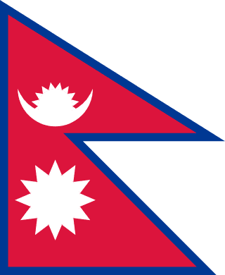 Nepal Nepal | 2.87 billion |
| 4 | Bhutan | 2.87 billion |
| 5 | China | 2.17 billion |
| 6 | India | 1.92 billion |
| 7 |  Afghanistan Afghanistan | 1.81 billion |
| 8 | 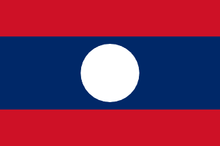 Laos Laos | 1.65 billion |
| 9 | 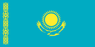 Kazakhstan Kazakhstan | 1.60 billion |
| 10 | 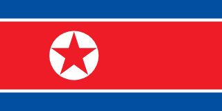 North Korea North Korea | 1.60 billion |
Smaller than everyone, bigger than everyone
Thirteen countries with three or more neighbours are bigger than every one of them: India, Indonesia, Nigeria, Brazil, Ethiopia, Egypt, the DR Congo, Germany, Thailand, the United Kingdom, South Africa, Algeria and Ghana.[1][2] Germany is the only one in mainland Europe, ahead of all nine of its neighbours.[1][2]
And 40 countries with two or more neighbours are smaller than all of them.[1][2] Some are expected, like Bhutan, Nepal and Mongolia between India, China and Russia; others are not. Norway has fewer people than any of its neighbours, Sweden, Finland and Russia, and Denmark fewer than Germany or Canada.[1][2]
How we counted
Populations are the World Bank's latest figure for each country; the World Bank has no figures for Taiwan or Vatican City, so theirs are official estimates from Taiwan's Ministry of the Interior and the Vatican.[1] Neighbours are the land borders in the site's border graph, including the few that run through a territory, like Denmark's with Canada on Hans Island.[2]
Sources
- [1]
- [2]countryInfo.txt · GeoNames
Each country's neighbours, currency, languages and time zones, as the site's games and Globe Atlas use them.
More by the numbers
- Flags by the numbers
- Giant regions: the biggest states and provinces
- How the world is governed
- Official languages by the numbers
- Six degrees of borders
- The countries that share a currency
- The countries with the most neighbours
- The countries with the most regions
- The longest and shortest land borders
- Time zones by the numbers
- Tripoints: where three countries meet