Six degrees of borders
Walk from country to country across land borders and 156 countries form one network. The longest trip through it takes 18 crossings; 48% of pairs are six or fewer apart.
Computed from the site’s dataLast checked 17 October 2026Suggest a correction
Treat each country as a stop and each land border as a step, and the map becomes a network: the one Border Run is played on.[1] Of the 197 countries, 156 are joined in a single network; the Dominican Republic and Haiti share an island of their own, and 39 countries, all islands, border no one.[1]
The longest trip
The two countries furthest apart are Lesotho and El Salvador: the shortest route between them crosses 18 borders.[1] Two other pairs tie with it: Lesotho to Papua New Guinea and Lesotho to Timor-Leste.[1]
The route is Lesotho → South Africa → Botswana → Zambia → DR Congo → Central African Republic → Chad → Niger → Algeria → Morocco → Spain (Ceuta and Melilla) → France → Germany → Denmark (Greenland) → Canada → United States → Mexico → Guatemala → El Salvador.[1] It reaches Europe through Spain's cities of Ceuta and Melilla on the Moroccan coast, and North America through Hans Island, between Greenland and Canada's Ellesmere Island.[1] Canada and Denmark, which governs Greenland, agreed in June 2022 to divide the island with a land border.[2]
The bridges to the Americas
Without overseas territories, the Americas would be cut off. Only four land borders join them to the rest: Canada's with Greenland, which is part of Denmark; France's with Brazil and Suriname, through French Guiana; and France's with the Netherlands on Saint Martin in the Caribbean.[1] Remove them and the network splits, leaving 22 countries in the Americas on their own.[1] Even with them, the link is a trick of counting: a country is one stop however its parts are spread, so a route can step from Greenland to Germany without crossing the sea in between.[1]
With them, the United States is 6 borders from China, by way of Greenland: United States → Canada → Denmark (Greenland) → Germany → Poland → Russia (Kaliningrad) → China.[1]
The middle of the world
On average, France is 4.82 borders from every other country in the network, closer than anyone else.[1] It is central partly because of French Guiana: France is the one country with a land border in both Europe and South America.[1][3] Germany, its neighbour, is a close second.[1]
The most remote are at the ends of the longest routes: Lesotho, Timor-Leste and Papua New Guinea, each an average of more than 10 borders from everywhere else.[1]
| # | Country | Average borders to the rest |
|---|---|---|
| 1 | 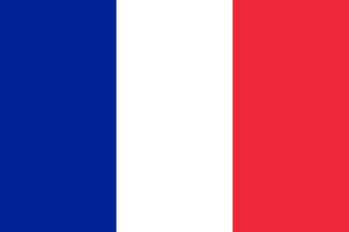 France France | 4.82 |
| 2 | 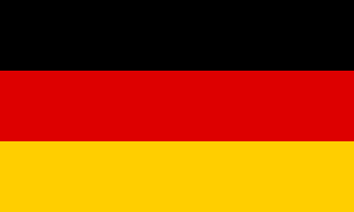 Germany Germany | 4.86 |
| 3 | 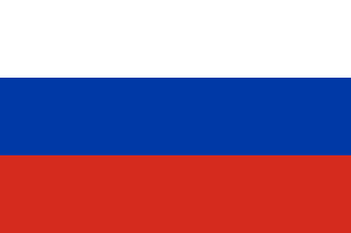 Russia Russia | 4.98 |
| 4 | 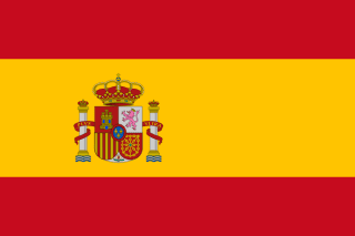 Spain Spain | 5.05 |
| 5 |  Poland Poland | 5.06 |
| 6 |  Türkiye Türkiye | 5.14 |
| 7 |  Azerbaijan Azerbaijan | 5.16 |
| 8 |  Georgia Georgia | 5.19 |
| 9 |  Switzerland Switzerland | 5.25 |
| 10 |  Morocco Morocco | 5.26 |
A few trips
Some trips for scale, each the fewest borders it can be done in.[1]
| # | From and to | Borders |
|---|---|---|
| 1 |   Portugal to Vietnam Portugal to Vietnam | 7 |
| 2 |  Spain to South Korea Spain to South Korea | 6 |
| 3 |  France to United States France to United States | 4 |
| 4 |   Norway to South Africa Norway to South Africa | 12 |
| 5 |   Canada to Chile Canada to Chile | 6 |
How we counted
The network is the site's border graph: each country's neighbours from GeoNames, plus a few borders GeoNames misses because they run through a territory (French Guiana, Saint Martin, Gibraltar, Hans Island).[1] Bridges, tunnels and causeways don't count, so Singapore and Bahrain are islands here.[1]
A route's length is the number of borders it crosses on the shortest path, whatever the distance on the ground.[1] Each country is one stop, with all its territories and exclaves: Russia with Kaliningrad, Denmark with Greenland, France with French Guiana.[1] Where several routes tie, the route shown is one of them.[1]
Sources
- [1]countryInfo.txt · GeoNames
Each country's neighbours, currency, languages and time zones, as the site's games and Globe Atlas use them.
- [2]Canada, Denmark agree on a landmark deal over disputed Hans Island · Arctic Today · 13 June 2022
- [3]Admin 0 – Countries, 1:50m · Natural Earth, via the world-atlas package
The country shapes the site's maps and games are drawn from; border lengths are measured along them.
More by the numbers
- Big neighbours, small neighbours
- Flags by the numbers
- Giant regions: the biggest states and provinces
- How the world is governed
- Official languages by the numbers
- The countries that share a currency
- The countries with the most neighbours
- The countries with the most regions
- The longest and shortest land borders
- Time zones by the numbers
- Tripoints: where three countries meet