Andean countries
The seven countries the Andes cross on their way down the length of South America, the longest mountain range above sea level, from the Caribbean coast of Venezuela to Tierra del Fuego.
7 countriesAs of September 2026Short notes, not sourcedSuggest a correction
The Andes run for about 7,000 km down the western side of South America, the longest continental mountain range in the world. Their highest peak, Aconcagua in Argentina, reaches about 6,960 m, the highest point outside Asia. The range is still rising as the Nazca Plate slides under South America, which also gives it hundreds of volcanoes and frequent earthquakes.
In the middle the range splits into two chains with the Altiplano between them, a high plateau at around 3,700 m shared by Peru, Bolivia, Chile and Argentina. The Inca Empire, the largest state in the Americas before Europeans arrived, was built along the Andes, and its road network ran for thousands of kilometres through the mountains.
The northern Andes3
Where the range splits into several parallel chains and ends near the Caribbean.
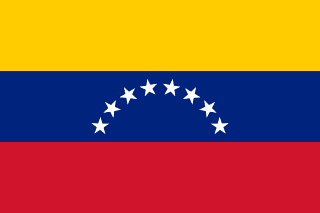 Venezuela
The Cordillera de Mérida, the range’s north-eastern tip, holds Pico Bolívar, about 4,980 m. Its last glacier, the Humboldt, had shrunk so much by 2024 that it was reclassified as an ice field.
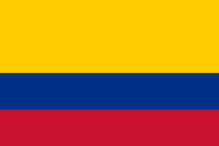 Colombia
The Andes split into three ranges here, with the Magdalena and Cauca rivers running north between them. Bogotá sits on a high plateau at about 2,600 m.
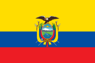 Ecuador
Quito, at about 2,850 m, is one of the highest capitals in the world. The summit of Chimborazo, thanks to the bulge of the Earth at the Equator, is the point on land farthest from the Earth’s centre.
The central Andes2
The widest part of the range, around the Altiplano.
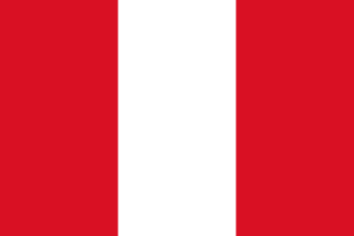 Peru
PeruThe heart of the Inca Empire: the Inca capital, Cusco, and Machu Picchu are both in the Peruvian Andes. Huascarán, about 6,770 m, is the highest mountain in the tropics.
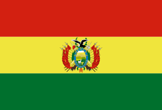 Bolivia
La Paz, the seat of government, is at about 3,600 m, and Lake Titicaca, on the border with Peru, is often called the highest navigable lake in the world. The Salar de Uyuni is the largest salt flat on Earth.
The southern Andes2
The range narrows, then breaks up into the fjords and islands of Patagonia.
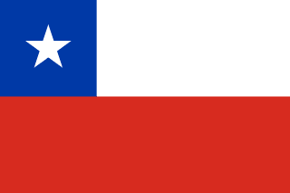 Chile
ChileA long strip between the Andes and the Pacific, nowhere more than about 350 km wide. The mountains form most of its long border with Argentina.
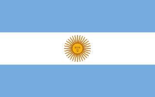 Argentina
Aconcagua, the highest mountain in the Americas, is in Mendoza province. In Patagonia the Southern Patagonian Ice Field, shared with Chile, feeds glaciers like Perito Moreno.
Close calls
The Andean Community
The trade bloc called the Andean Community has four members: Bolivia, Colombia, Ecuador and Peru. Chile left in 1976 and Venezuela in 2006, and Argentina was never a member, though all three are in the mountains.
Trinidad
The Northern Range of Trinidad, just off Venezuela’s coast, is geologically a continuation of the Venezuelan coastal mountains, but it isn’t counted as part of the Andes.
Tierra del Fuego
At the southern tip the range bends east through Tierra del Fuego, split between Chile and Argentina. Many geologists trace it further, under the sea, to the mountains of South Georgia and the Antarctic Peninsula.
More country lists
- Amazon rainforest countries
- Arab League member states
- Arctic Ocean countries
- ASEAN member countries
- Atlantic Ocean countries
- Baltic Sea countries
- Black Sea countries
- BRICS member countries
- Caribbean Sea countries
- Commonwealth member countries
- Countries in the Arctic Circle
- Countries in the European Union
- Countries of the former Yugoslavia
- Countries on the Equator
- Countries that drive on the left
- Countries that use the euro
- Countries with a monarch
- Countries with nuclear weapons
- Danube countries
- FIFA World Cup host countries
- Former Soviet republics
- G20 member countries
- Indian Ocean countries
- Island nations
- Landlocked countries
- Mediterranean countries
- Mekong countries
- NATO member countries
- OECD member countries
- OPEC member countries
- Pacific Ocean countries
- Persian Gulf countries
- Red Sea countries
- Sahara Desert countries
- Schengen Area countries
- Summer Olympics host countries
- Winter Olympics host countries