Indian Ocean countries
The 35 countries with an Indian Ocean coast, from South Africa round to Australia, counting its arms: the Red Sea, the Persian Gulf, the Arabian Sea, the Bay of Bengal and the Gulfs of Aden and Oman.
35 countriesAs of October 20263 sourcesSuggest a correction
The Indian Ocean is the third-largest ocean, about 70 million km², closed off to the north by Asia and open only to the south. It is the warmest ocean, and its winds reverse with the seasons: the monsoon, which brings most of South Asia’s rain and for centuries carried sailing ships between Africa, Arabia, India and China.
Much of the world’s oil and trade crosses it, through the Strait of Hormuz, the Bab-el-Mandeb and the Strait of Malacca. In 2004 an earthquake off Sumatra set off a tsunami that killed about 230,000 people in fourteen countries around its shores.
The Grid also counts France and the UK →
East Africa6
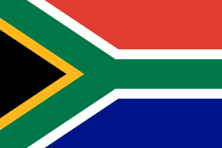 South Africa
Its east coast is on the Indian Ocean. Cape Agulhas, its southern tip, is where the Indian Ocean officially meets the Atlantic.
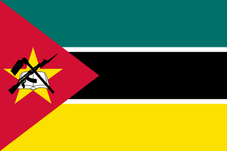 Mozambique
Faces Madagascar across the Mozambique Channel.
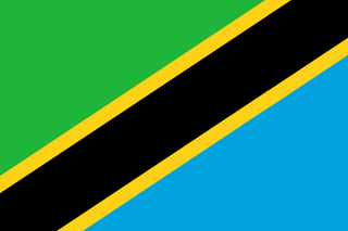 Tanzania
Includes Zanzibar, once the centre of a trading empire of the Omani sultans.
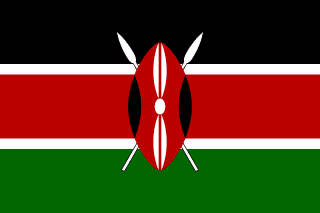 Kenya
Mombasa is the biggest port in East Africa.
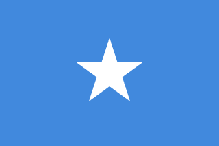 Somalia
Has the longest coastline in mainland Africa, on the Gulf of Aden and the Indian Ocean.
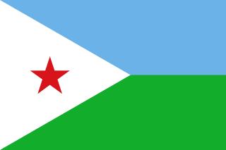 Djibouti
On the Gulf of Aden, at the mouth of the Red Sea.
The islands6
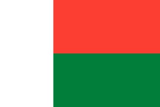 Madagascar
The fourth-largest island in the world.
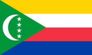
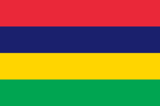
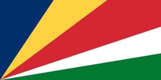 Seychelles
Over a hundred islands, some of them granite, left behind when India broke away from Africa.
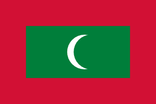 Maldives
The lowest country in the world, with an average height about a metre and a half above sea level.
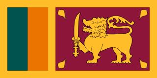
Arabia and Iran4
 Yemen
On the Gulf of Aden and the Arabian Sea, as well as the Red Sea.
 Oman
Its long coast on the Arabian Sea made it a sea power, with an empire reaching to Zanzibar.
 United Arab Emirates
Mostly on the Persian Gulf, but Fujairah is on the Gulf of Oman.
 Iran
Its south-eastern coast, with the port of Chabahar, is on the Gulf of Oman.
The Red Sea6
 Egypt
The Suez Canal links the Red Sea to the Mediterranean.
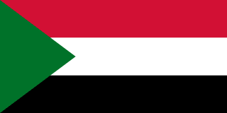 Sudan
Port Sudan is its only big seaport.
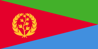
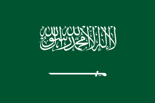 Saudi Arabia
On both the Red Sea and the Persian Gulf.
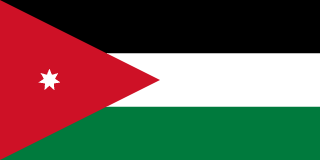 Jordan
Its only coast is a short stretch on the Gulf of Aqaba, at the port of Aqaba.
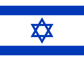 Israel
Eilat, on the Gulf of Aqaba, is its Red Sea port.
The Persian Gulf4
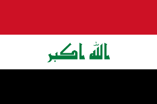
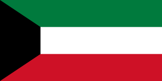
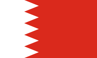
South and Southeast Asia8
 Pakistan
Karachi is on the Arabian Sea.
 India
The ocean is named after it. The Indian subcontinent splits it into the Arabian Sea and the Bay of Bengal.
 Bangladesh
The Ganges and Brahmaputra meet the Bay of Bengal in the world’s largest river delta.
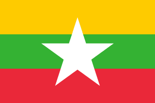 Myanmar
On the Bay of Bengal and the Andaman Sea.
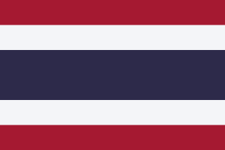 Thailand
Its west coast, with Phuket, is on the Andaman Sea. The Gulf of Thailand, on its other side, counts as Pacific.
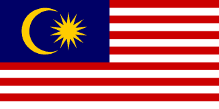 Malaysia
The Strait of Malacca separates it from Sumatra.
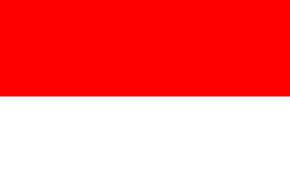 Indonesia
Sumatra and Java face the Indian Ocean. The rest of the country is on the Pacific side.
 Timor-Leste
Its south coast faces the Timor Sea and Australia.
Australia1
 Australia
Its west and south coasts, from Perth round to Adelaide, face the Indian Ocean, or the Southern Ocean, depending on who draws the line.
Through their territories+2
These two aren’t on the list, but each holds islands in the Indian Ocean, and The Grid counts them for “Coastline on the Indian Ocean”.
 France
Réunion, Mayotte, the Kerguelen Islands
 United Kingdom
The British Indian Ocean Territory
Close calls
The Red Sea and the Persian Gulf
Both are arms of the Indian Ocean, so a coast on either counts here, the way a Caribbean coast counts as Atlantic. The Grid also has separate clues for each of them.
Territories
Many Indian Ocean islands belong to other countries: Réunion and Mayotte are French, the Chagos Islands are British, though a treaty signed in 2025 agrees to hand them to Mauritius, and the Andaman and Nicobar Islands are India’s.
More country lists
- Amazon rainforest countries
- Andean countries
- Arab League member states
- Arctic Ocean countries
- ASEAN member countries
- Atlantic Ocean countries
- Baltic Sea countries
- Black Sea countries
- BRICS member countries
- Caribbean Sea countries
- Commonwealth member countries
- Countries in the Arctic Circle
- Countries in the European Union
- Countries of the former Yugoslavia
- Countries on the Equator
- Countries that drive on the left
- Countries that use the euro
- Countries where Arabic is official
- Countries where English is official
- Countries where French is official
- Countries where German is official
- Countries where Portuguese is official
- Countries where Spanish is official
- Countries with a monarch
- Countries with nuclear weapons
- Danube countries
- FIFA World Cup host countries
- Former Soviet republics
- G20 member countries
- Island nations
- Landlocked countries
- Mediterranean countries
- Mekong countries
- NATO member countries
- OECD member countries
- OPEC member countries
- Pacific Ocean countries
- Persian Gulf countries
- Red Sea countries
- Sahara Desert countries
- Schengen Area countries
- Summer Olympics host countries
- Transcontinental countries
- Winter Olympics host countries
Sources
- [1]Indian Ocean · Encyclopaedia Britannica
- [2]Limits of Oceans and Seas (S-23), 3rd edition · International Hydrographic Organization · 1953
The standard sea limits. Where the common answer differs (a coast on a gulf or strait), the close calls say which way we went.
- [3]Natural Earth 1:10m land and country boundaries · Natural Earth
The map data we checked each country against.
Map geometry from Natural Earth via world-atlas. See credits.