Caribbean Sea countries
The 20 countries with a shore on the Caribbean Sea: the island nations of the Antilles, the Caribbean coast of Central America and Mexico, and Colombia and Venezuela on the South American mainland.
20 countriesAs of September 20263 sourcesSuggest a correction
The Caribbean Sea covers about 2.75 million km², enclosed by the arc of the Antilles to the north and east, Central America to the west and South America to the south. It is part of the Atlantic, and opens into the Gulf of Mexico through the Yucatán Channel. The Cayman Trough, between Cuba and Jamaica, is its deepest point, at about 7,700 m.
Columbus reached it in 1492, and it takes its name from the Caribs, one of the peoples living there. Its islands were fought over by Spain, Britain, France and the Netherlands for centuries, which is why Spanish, English, French and Dutch, and creoles built on them, are all spoken there today. The Panama Canal, opened in 1914, links it to the Pacific.
The Grid also counts France, the UK, the Netherlands and the US →
The Greater Antilles4
The four big islands in the north.
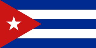 Cuba
Its long south coast faces the Caribbean, and its north the Atlantic.
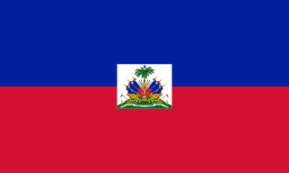 Haiti
Shares the island of Hispaniola with the Dominican Republic.
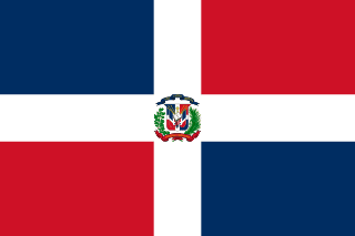 Dominican Republic
Santo Domingo, founded in 1496, is the oldest continuously inhabited European city in the Americas.
The Lesser Antilles7
The chain of smaller islands to the east, between the Caribbean and the open Atlantic.
 Trinidad and Tobago
Only about 11 km from Venezuela at its closest, and geologically part of South America.
Central America and Mexico7
 Mexico
The Yucatán Peninsula’s east coast, with Cancún, faces the Caribbean.
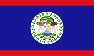 Belize
Has the longest barrier reef in the Americas, and the Great Blue Hole.
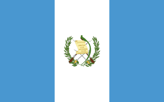 Guatemala
Its short Caribbean coast is on the Gulf of Honduras.
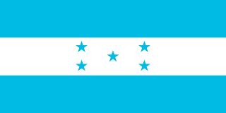
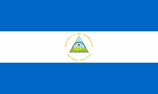 Nicaragua
Its Caribbean side, the Mosquito Coast, is wet, thinly settled and home to Miskito and Afro-Caribbean communities.
 Panama
The Panama Canal runs from Colón on the Caribbean to Panama City on the Pacific.
South America2
Through their territories+4
These four aren’t on the list, but each holds islands in the Caribbean, and The Grid counts them for “Coastline on the Caribbean”.
 France
Guadeloupe, Martinique, Saint Martin, Saint Barthélemy
 United Kingdom
The Cayman Islands, the British Virgin Islands, Anguilla, Montserrat
 Netherlands
Aruba, Curaçao, Sint Maarten, Bonaire, Saba, Sint Eustatius
 United States
Puerto Rico, the U.S. Virgin Islands
Close calls
The Bahamas and Barbados
Both are thought of as Caribbean countries, but the Bahamas lie north of Cuba in the Atlantic, and Barbados is east of the Lesser Antilles chain, so neither has a Caribbean Sea shore.
Guyana and Suriname
Both are members of the Caribbean Community and feel more Caribbean than South American, but their coasts face the Atlantic.
Territories
Many Caribbean islands aren’t independent countries: Puerto Rico and the US Virgin Islands, the Cayman Islands and other British territories, Aruba and Curaçao (part of the Kingdom of the Netherlands), and Guadeloupe and Martinique, which are part of France.
More country lists
- Amazon rainforest countries
- Andean countries
- Arab League member states
- Arctic Ocean countries
- ASEAN member countries
- Atlantic Ocean countries
- Baltic Sea countries
- Black Sea countries
- BRICS member countries
- Commonwealth member countries
- Countries in the Arctic Circle
- Countries in the European Union
- Countries of the former Yugoslavia
- Countries on the Equator
- Countries that drive on the left
- Countries that use the euro
- Countries where Arabic is official
- Countries where English is official
- Countries where French is official
- Countries where German is official
- Countries where Portuguese is official
- Countries where Spanish is official
- Countries with a monarch
- Countries with nuclear weapons
- Danube countries
- FIFA World Cup host countries
- Former Soviet republics
- G20 member countries
- Indian Ocean countries
- Island nations
- Landlocked countries
- Mediterranean countries
- Mekong countries
- NATO member countries
- OECD member countries
- OPEC member countries
- Pacific Ocean countries
- Persian Gulf countries
- Red Sea countries
- Sahara Desert countries
- Schengen Area countries
- Summer Olympics host countries
- Transcontinental countries
- Winter Olympics host countries
Sources
- [1]Caribbean Sea · Encyclopaedia Britannica
- [2]Limits of Oceans and Seas (S-23), 3rd edition · International Hydrographic Organization · 1953
The standard sea limits. Where the common answer differs (a coast on a gulf or strait), the close calls say which way we went.
- [3]Natural Earth 1:10m land and country boundaries · Natural Earth
The map data we checked each country against.
Map geometry from Natural Earth via world-atlas. See credits.